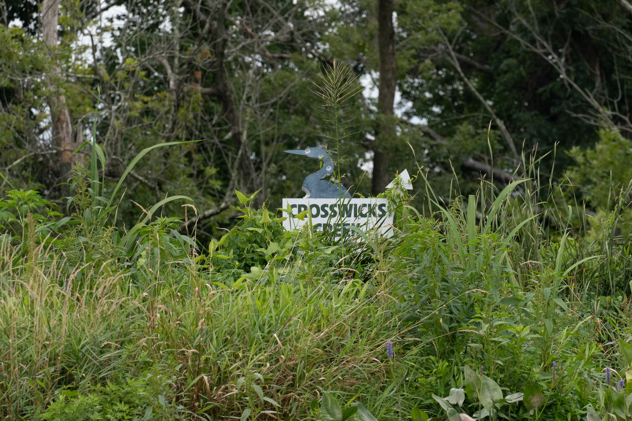
Crosswicks and Watson's Creeks


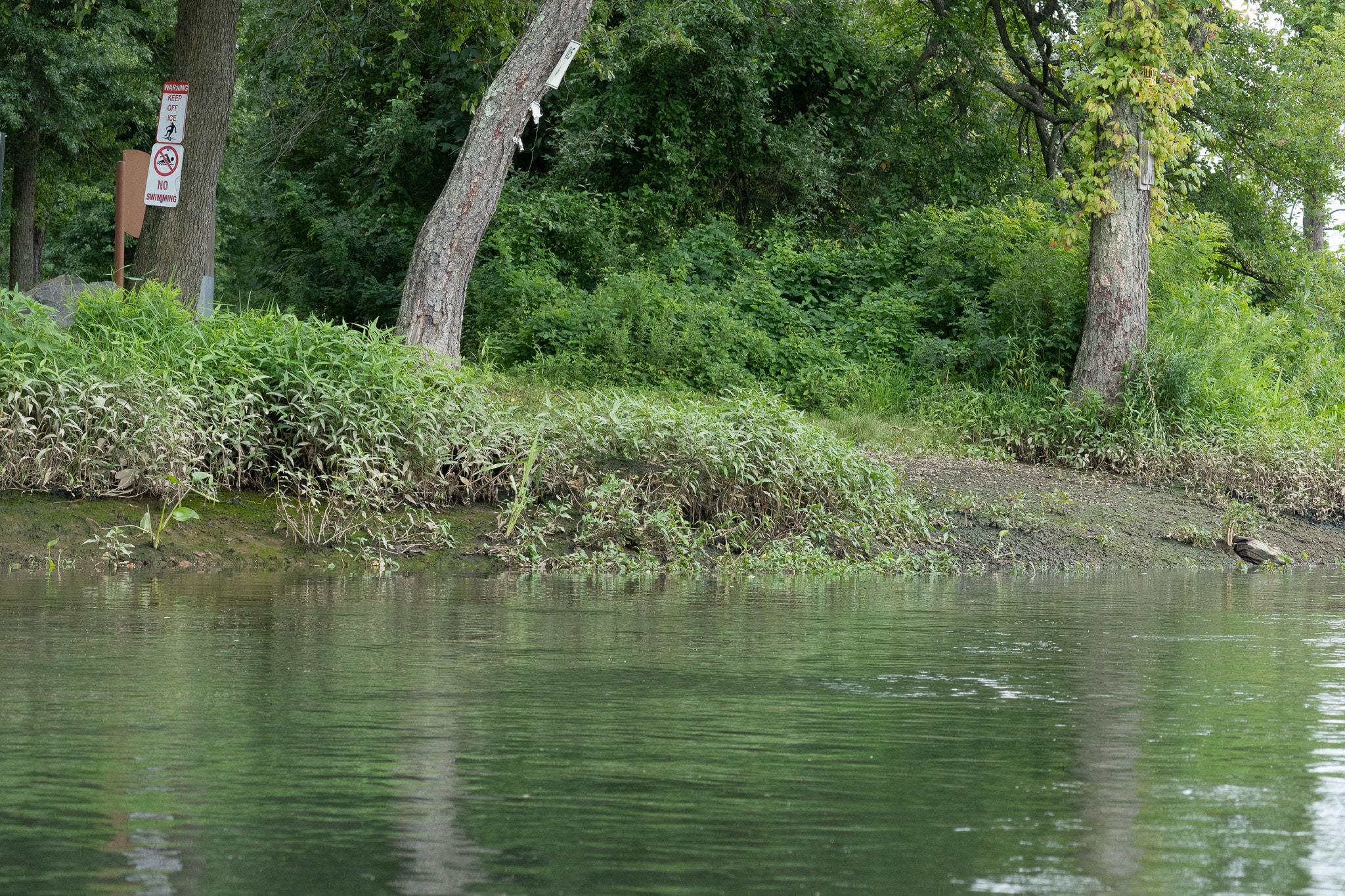
Like all the streams entering the Delaware River below, Trenton Crosswicks is tidal. I put in at Bordentown with three hours till slack water, rode the current upstream for several miles, then returned on the ebb tide. The put-in spot is about as good as it gets along most of lower Delaware. A stony, gently sloping beach is next to the boat ramp in Bordentown Park. Use of the beach is free, but there is a charge for the ramp.
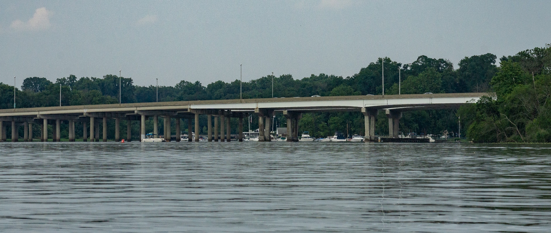
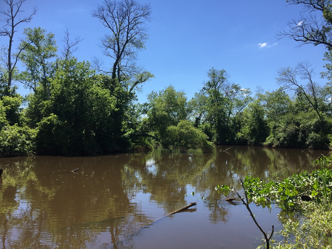
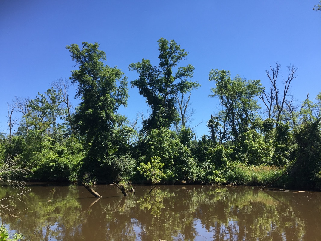
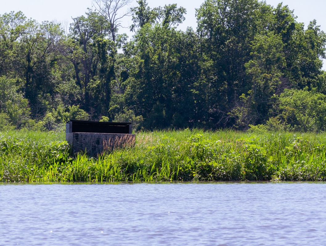
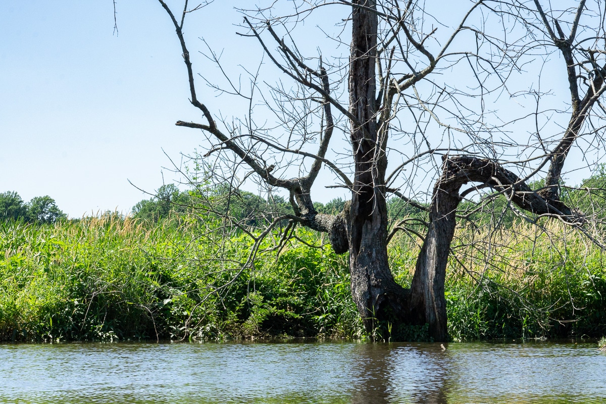
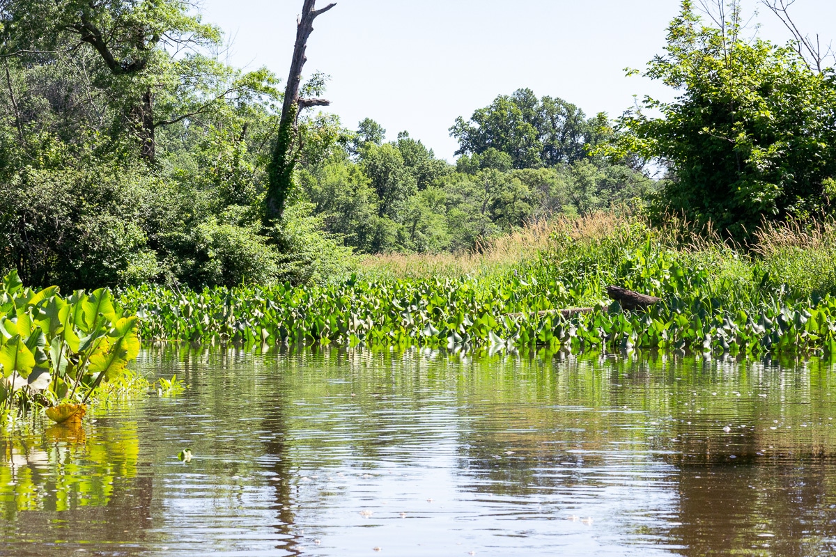
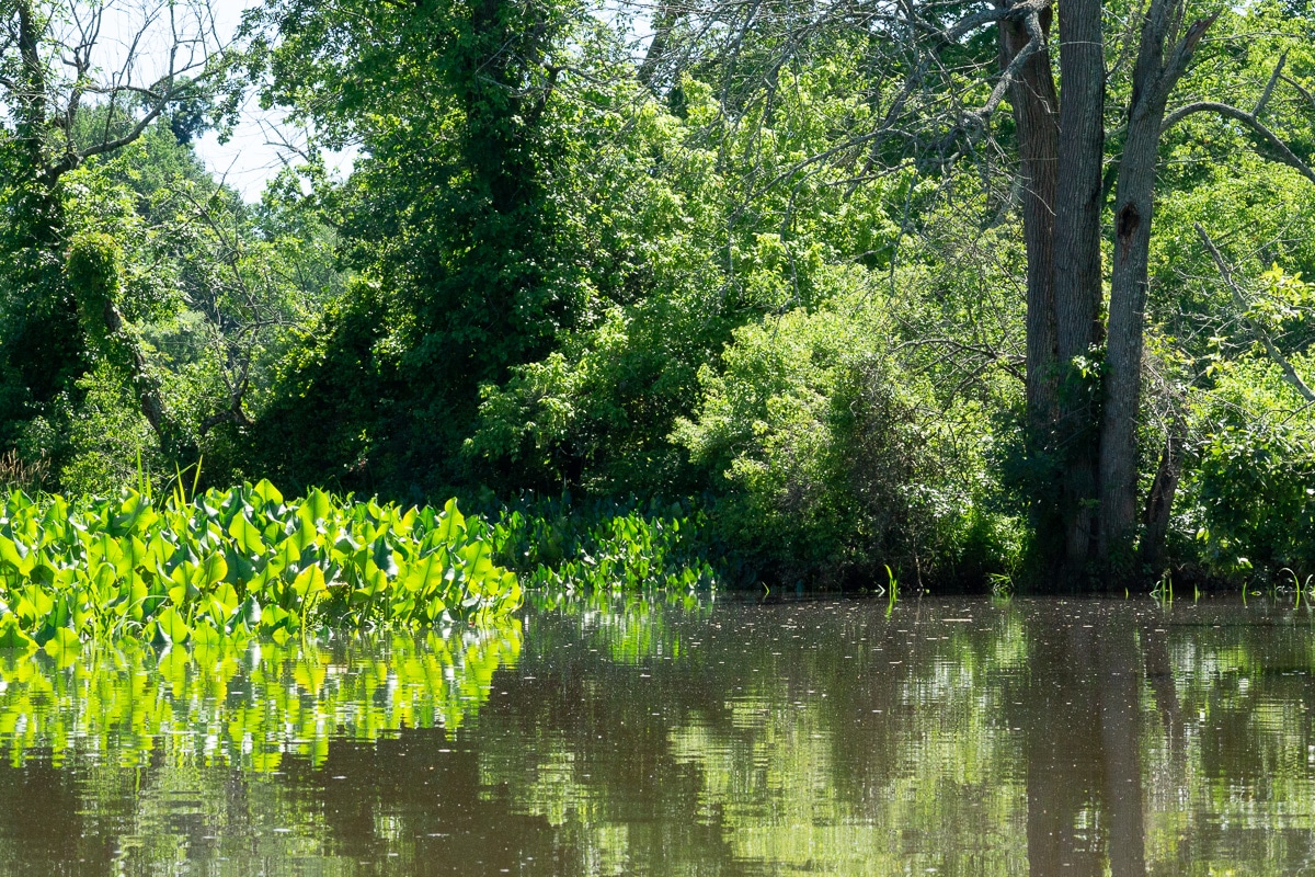
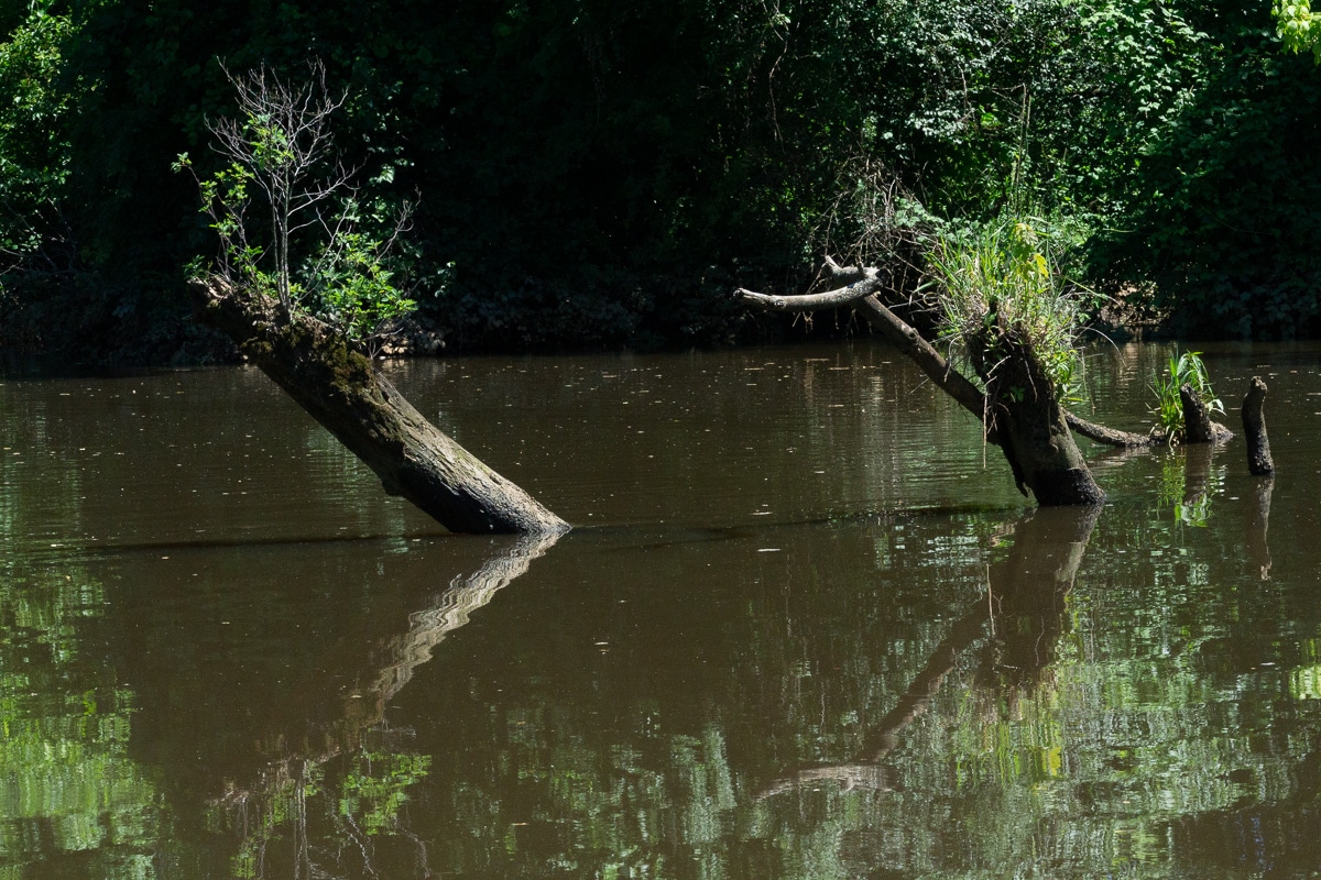
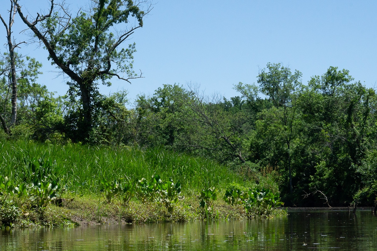
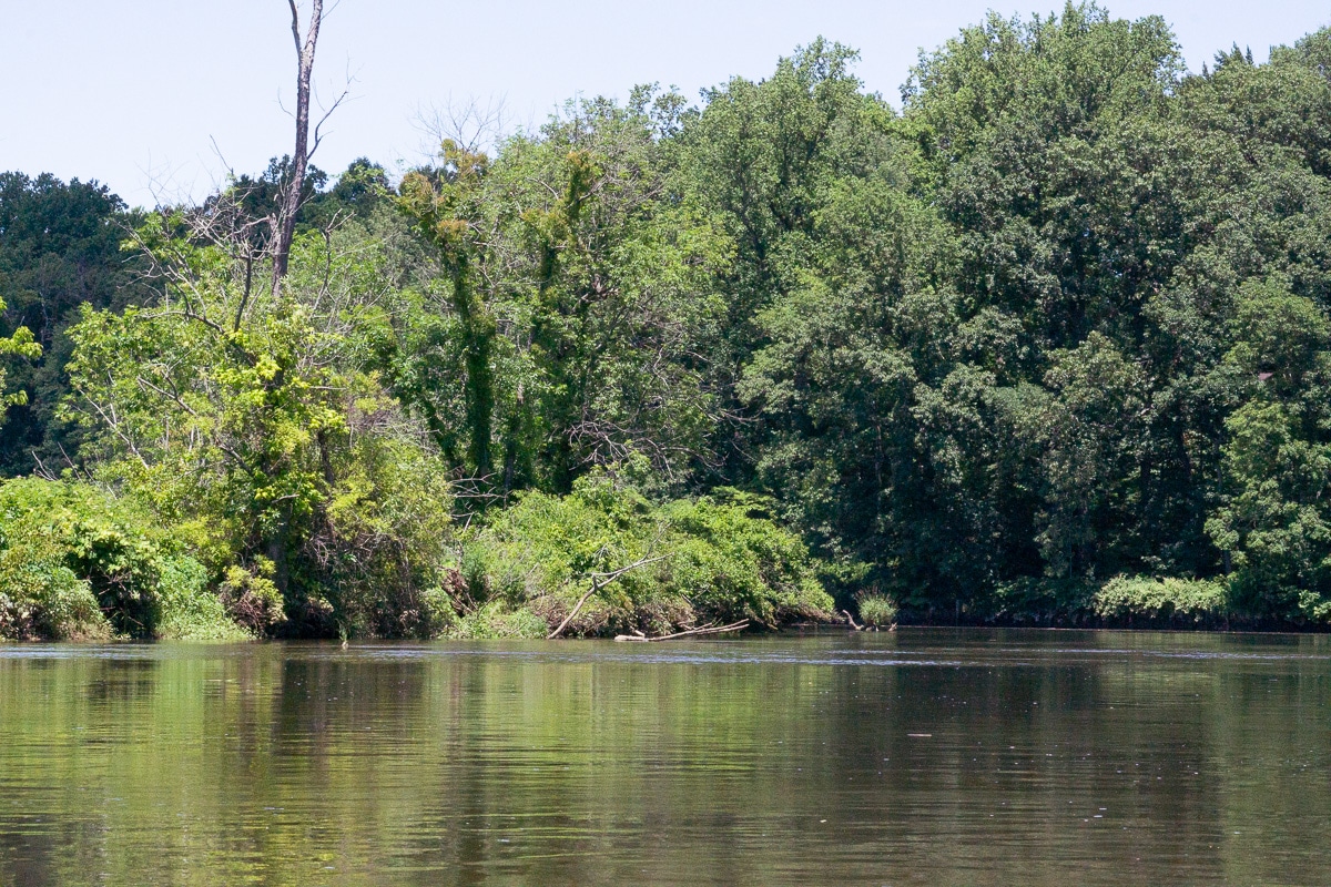
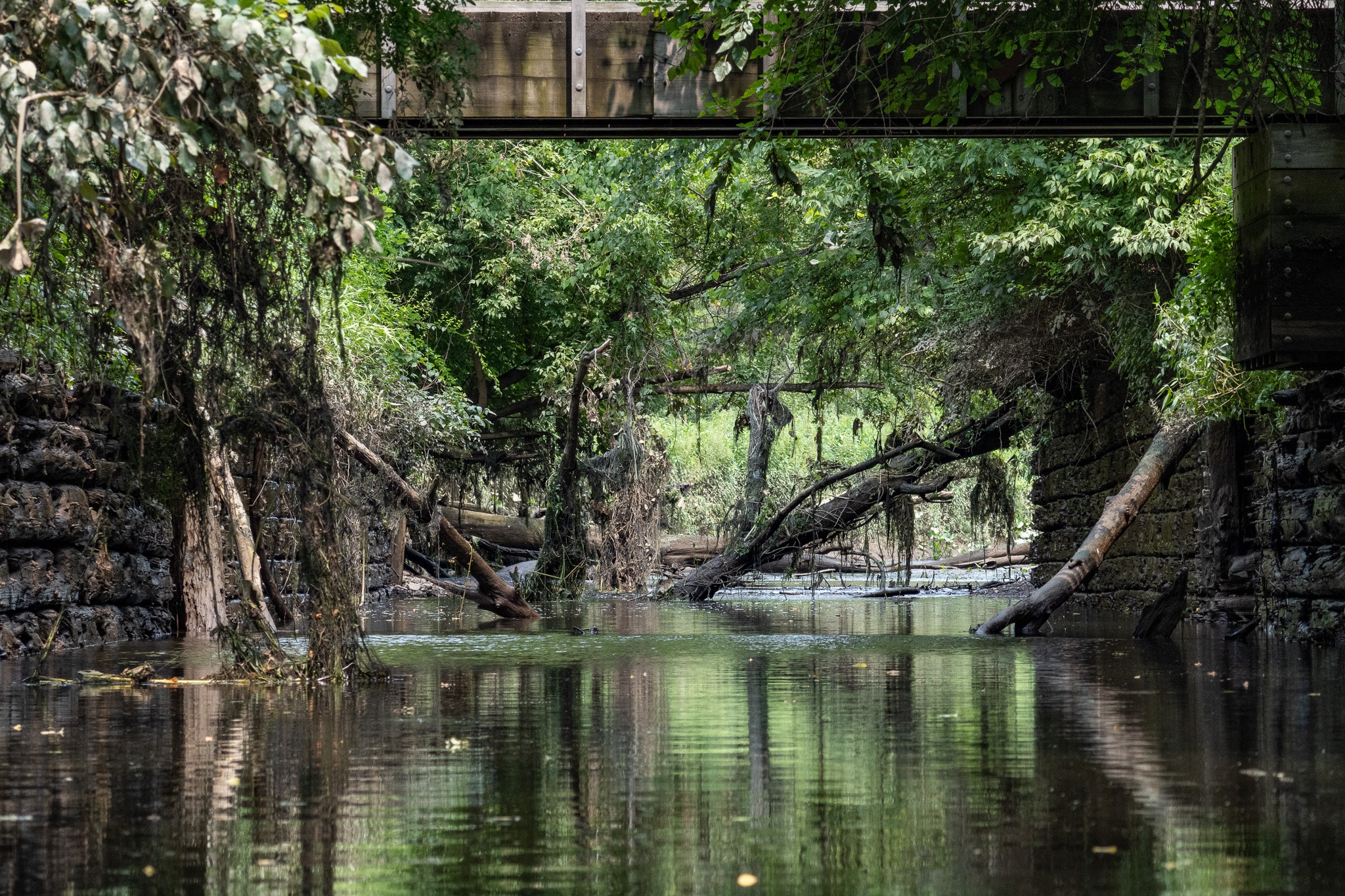
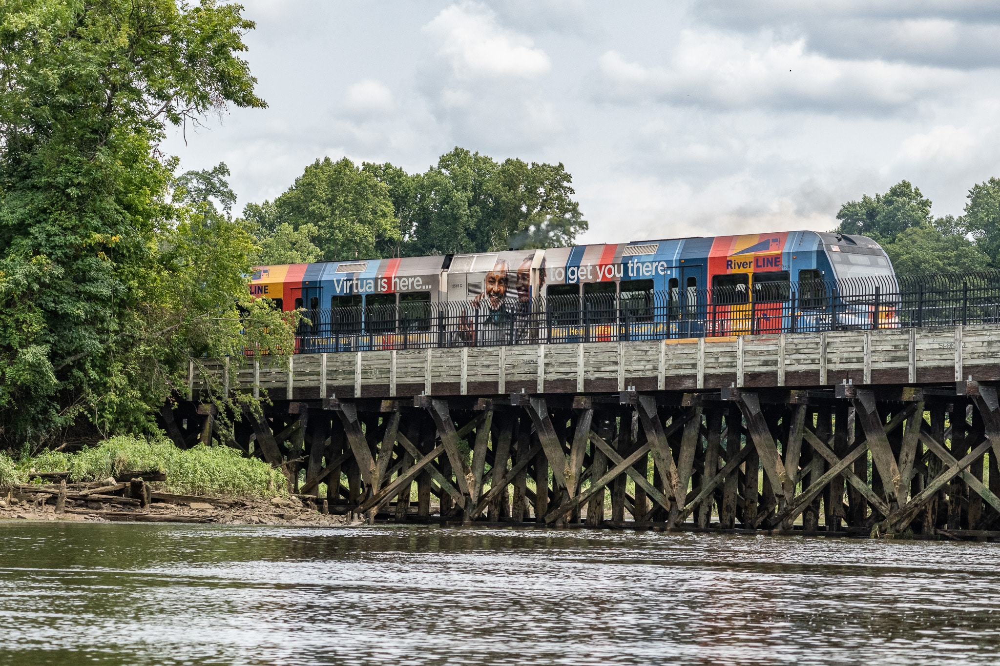
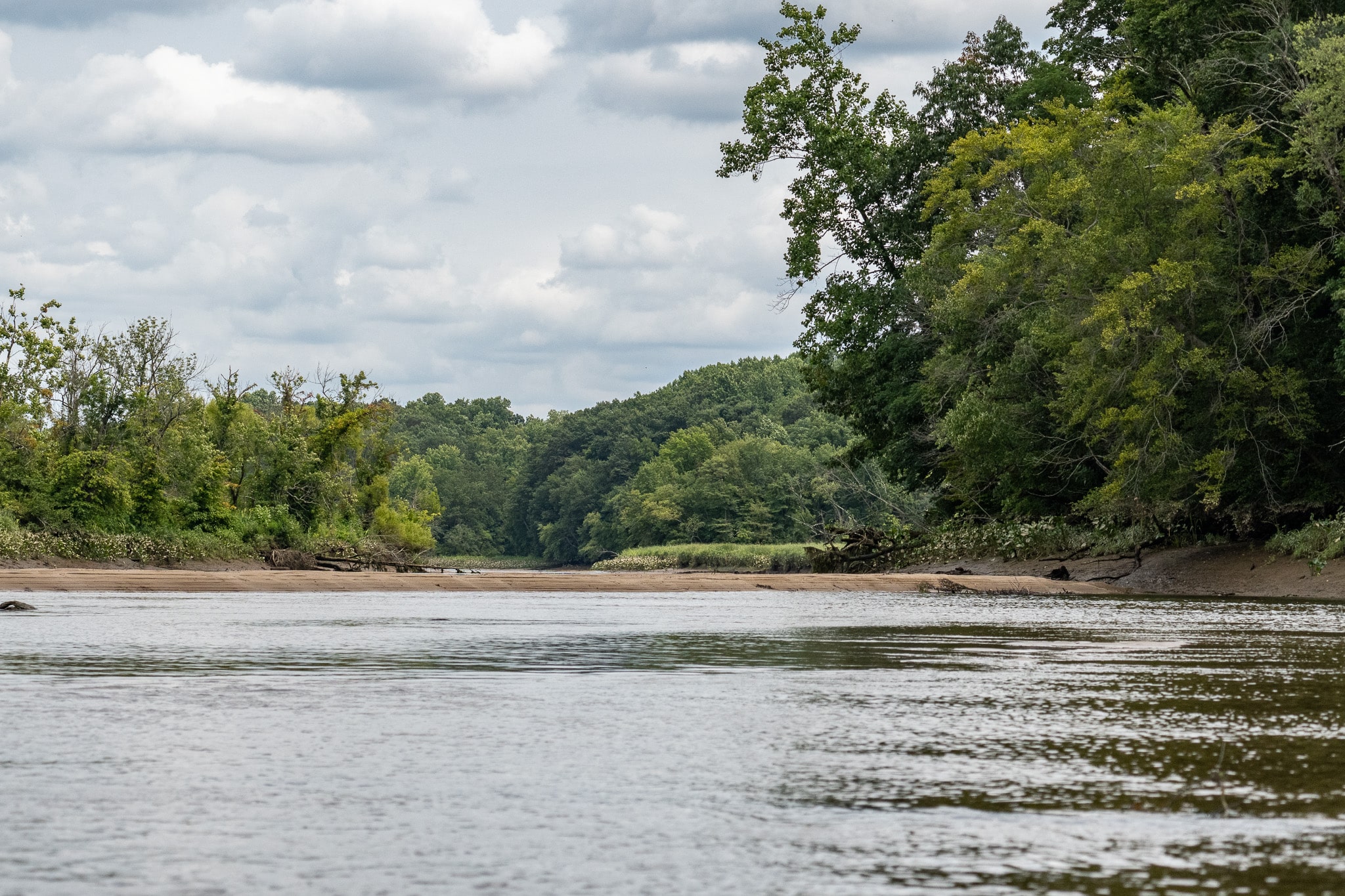
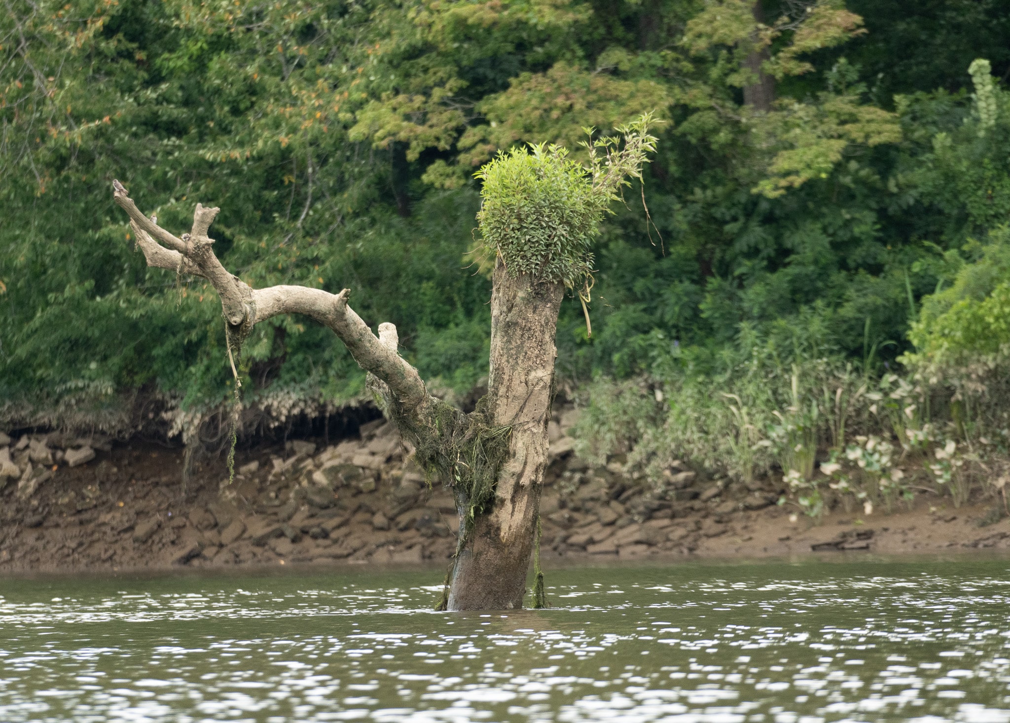
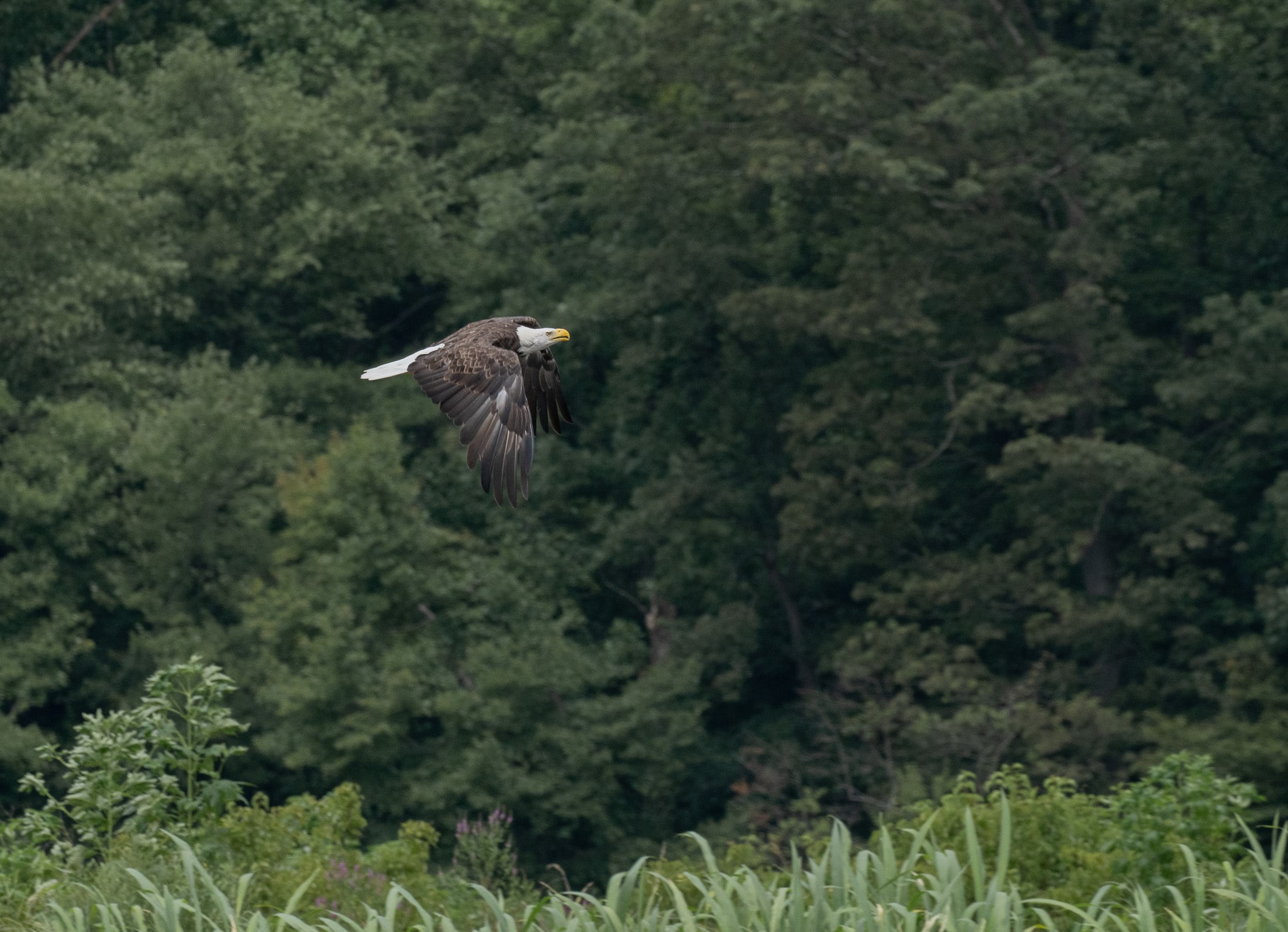
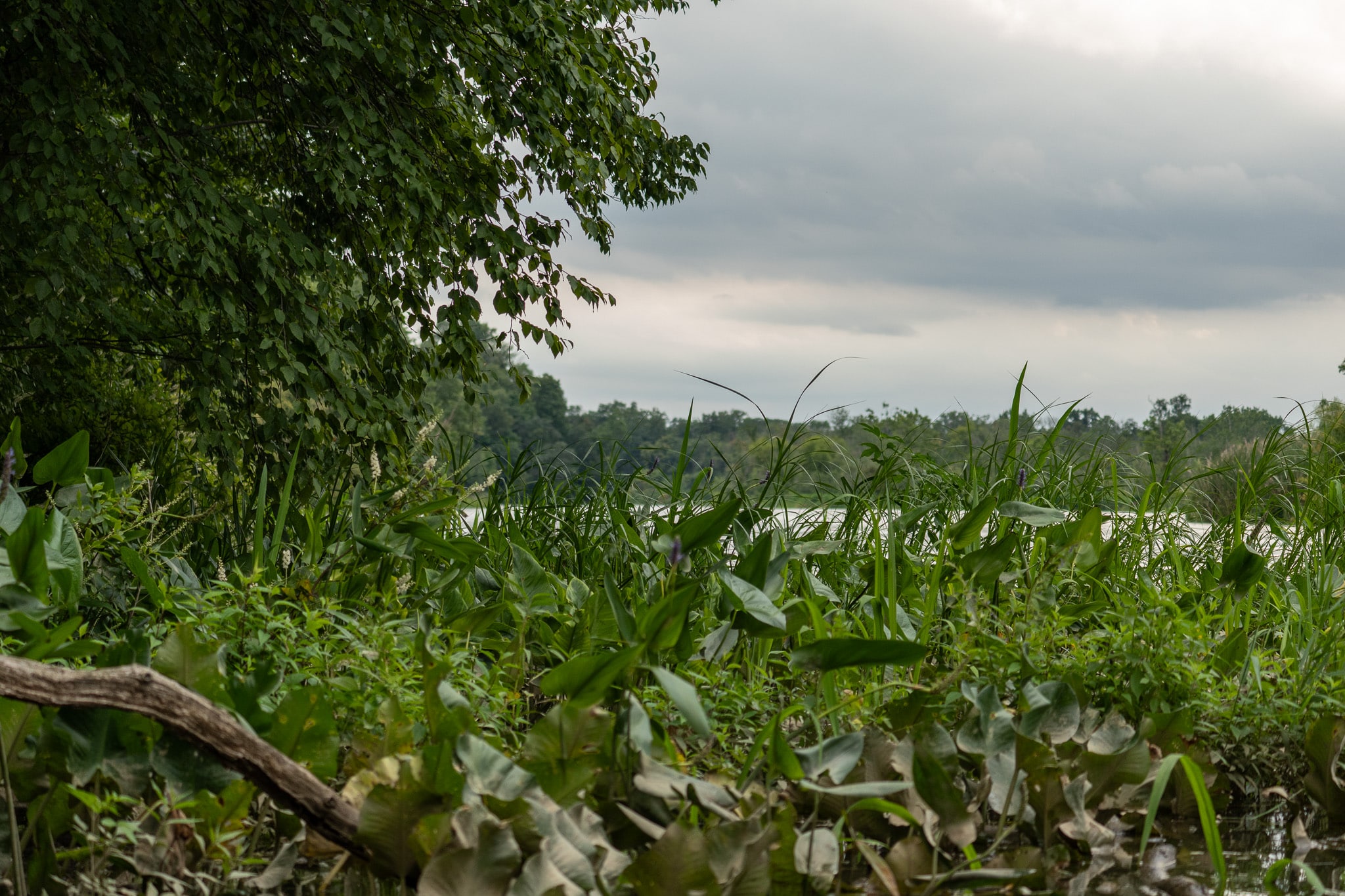
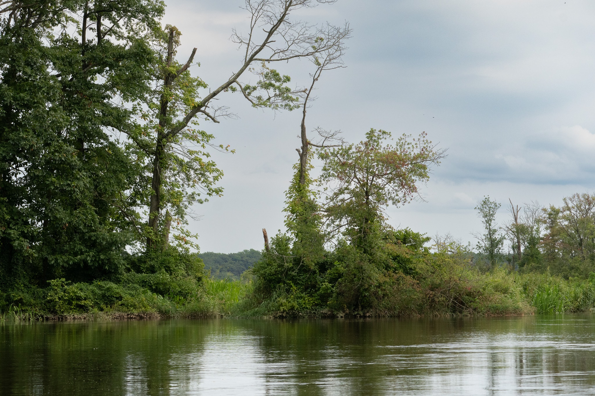
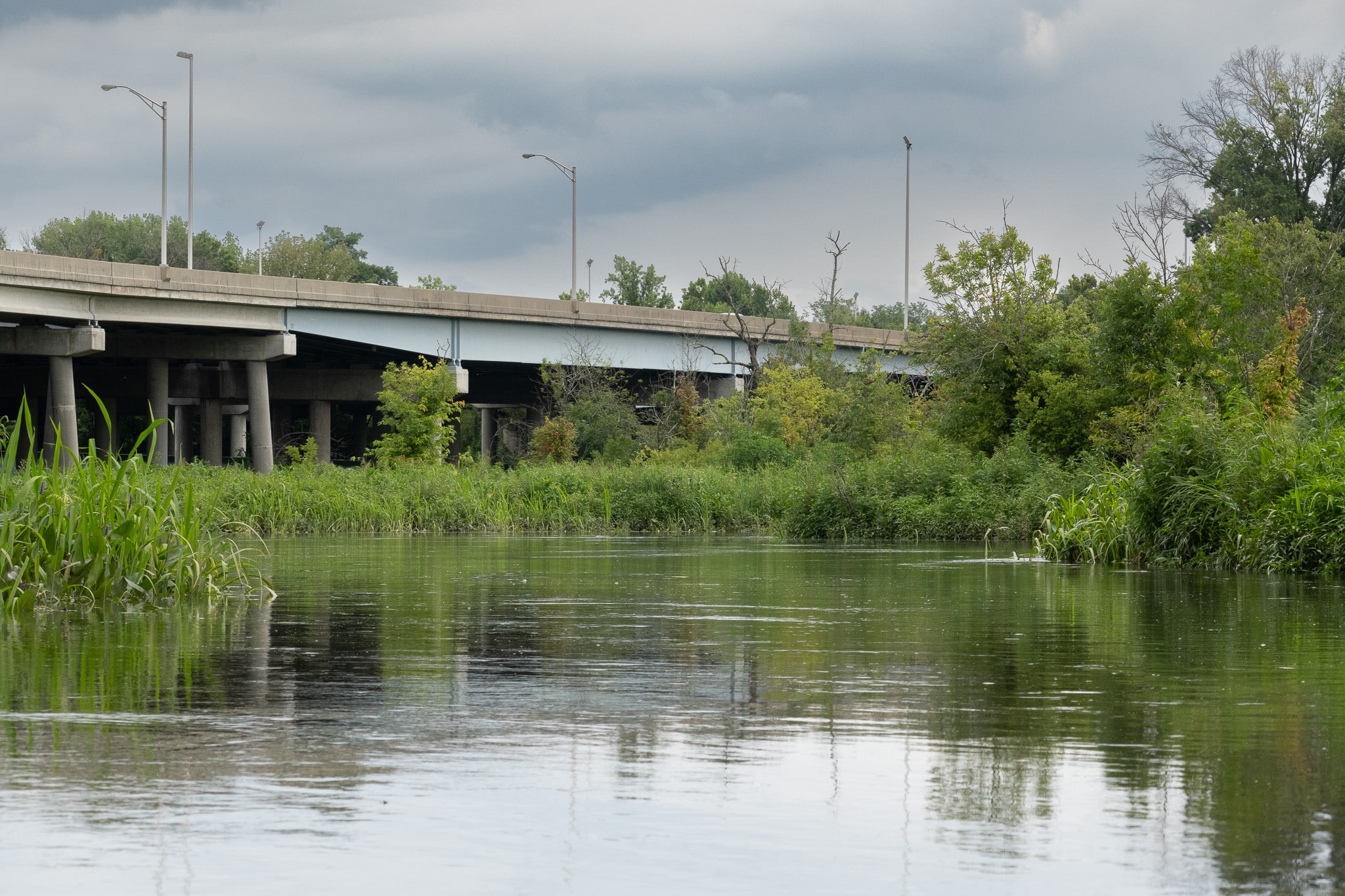
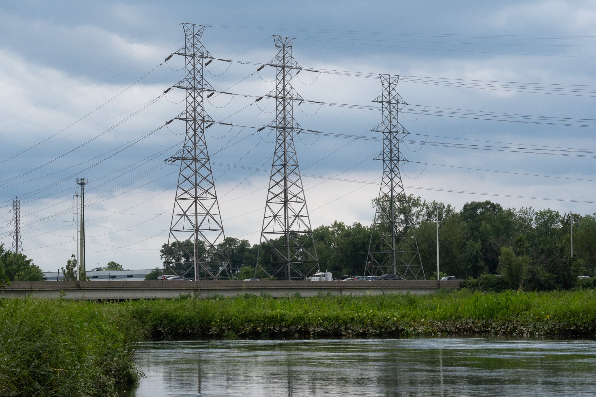
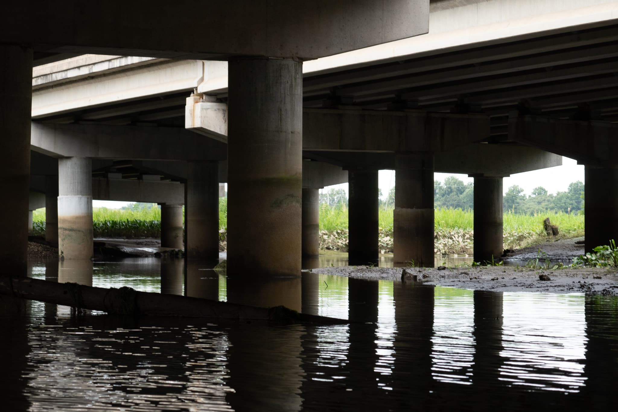
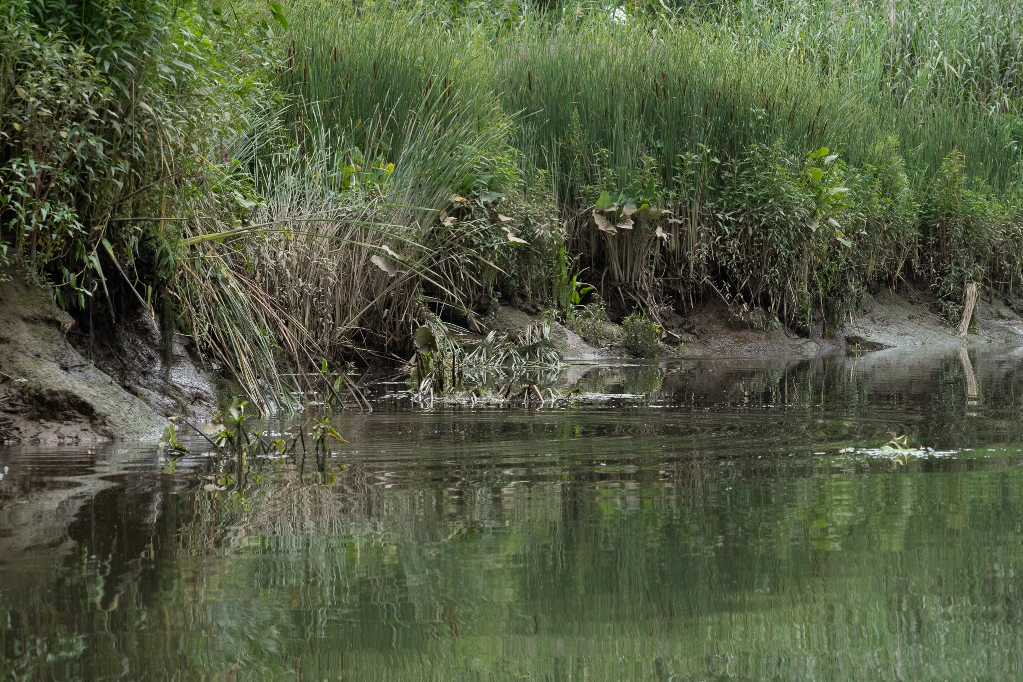
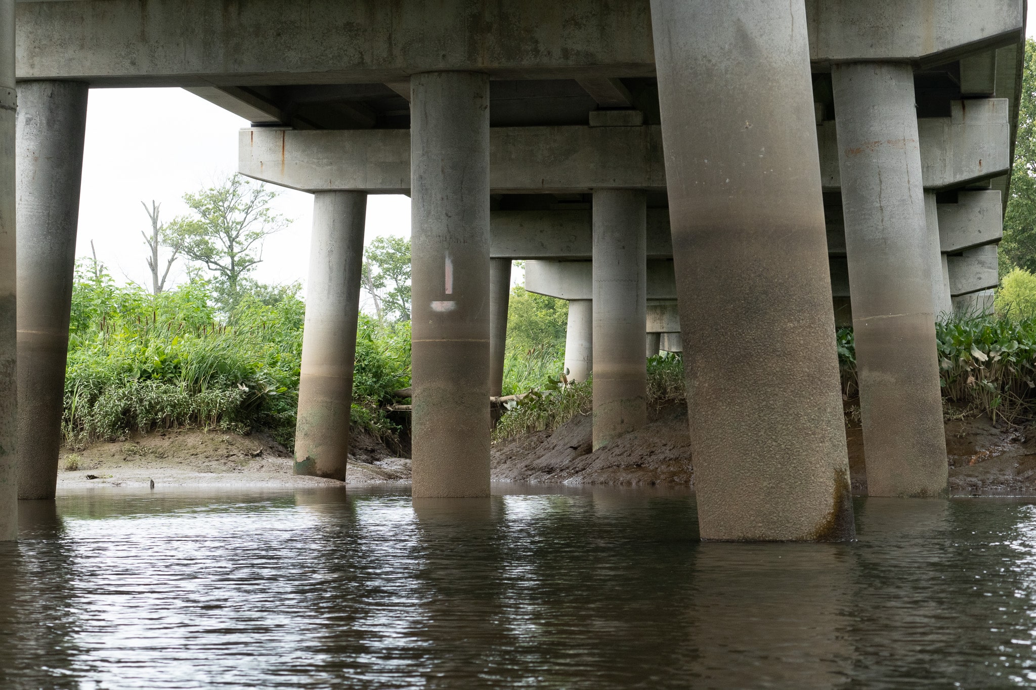
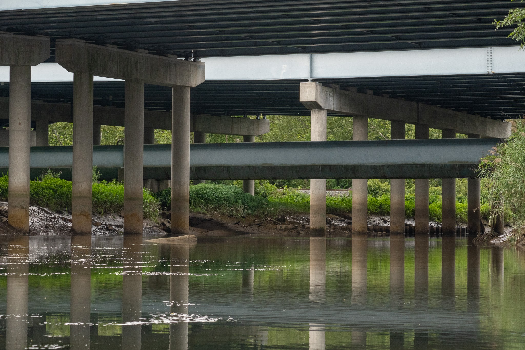
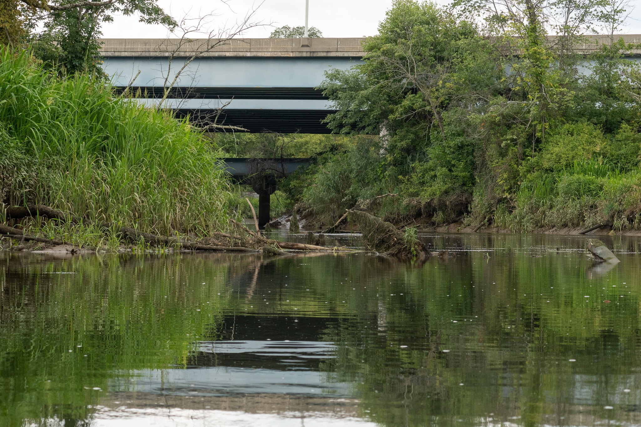
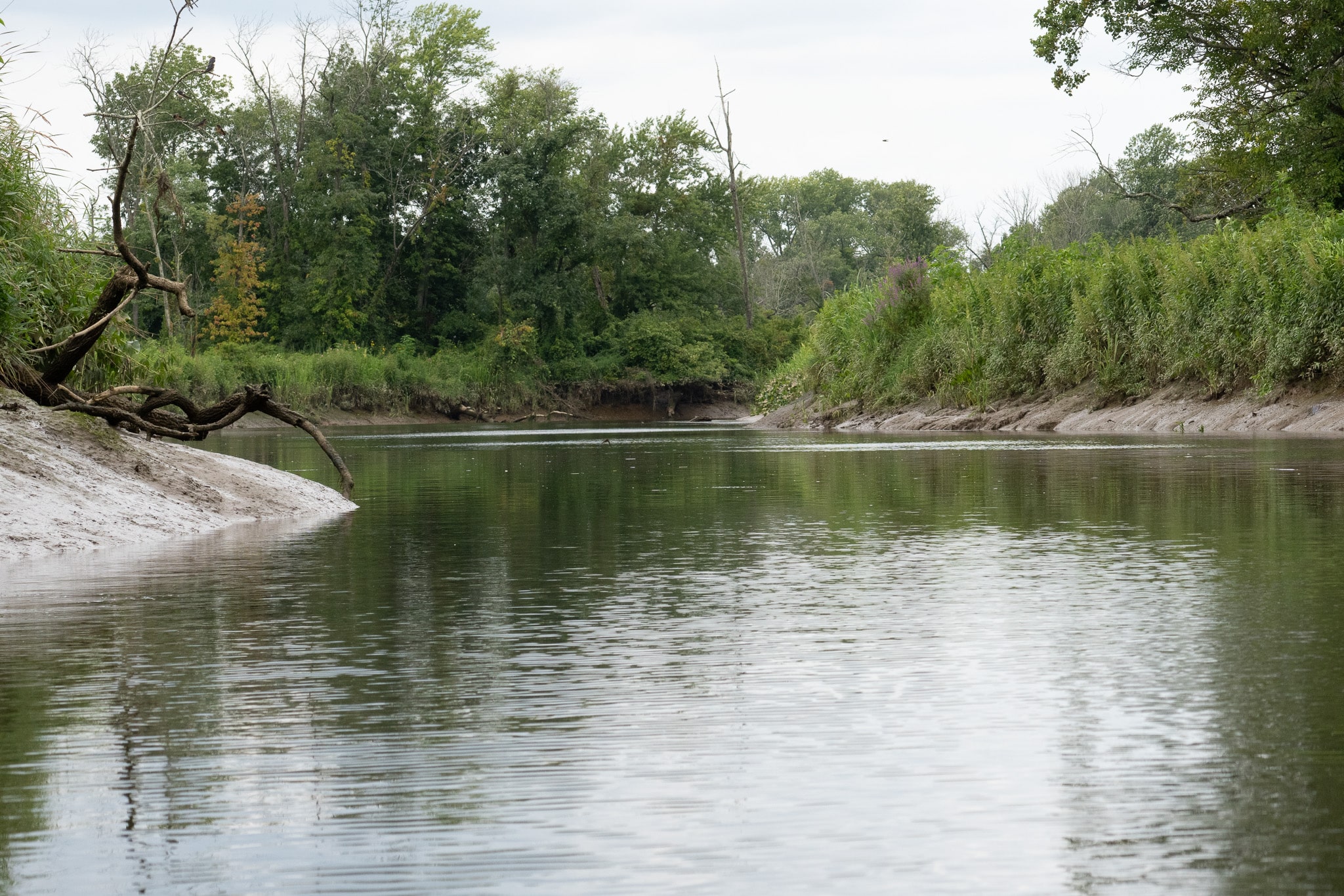
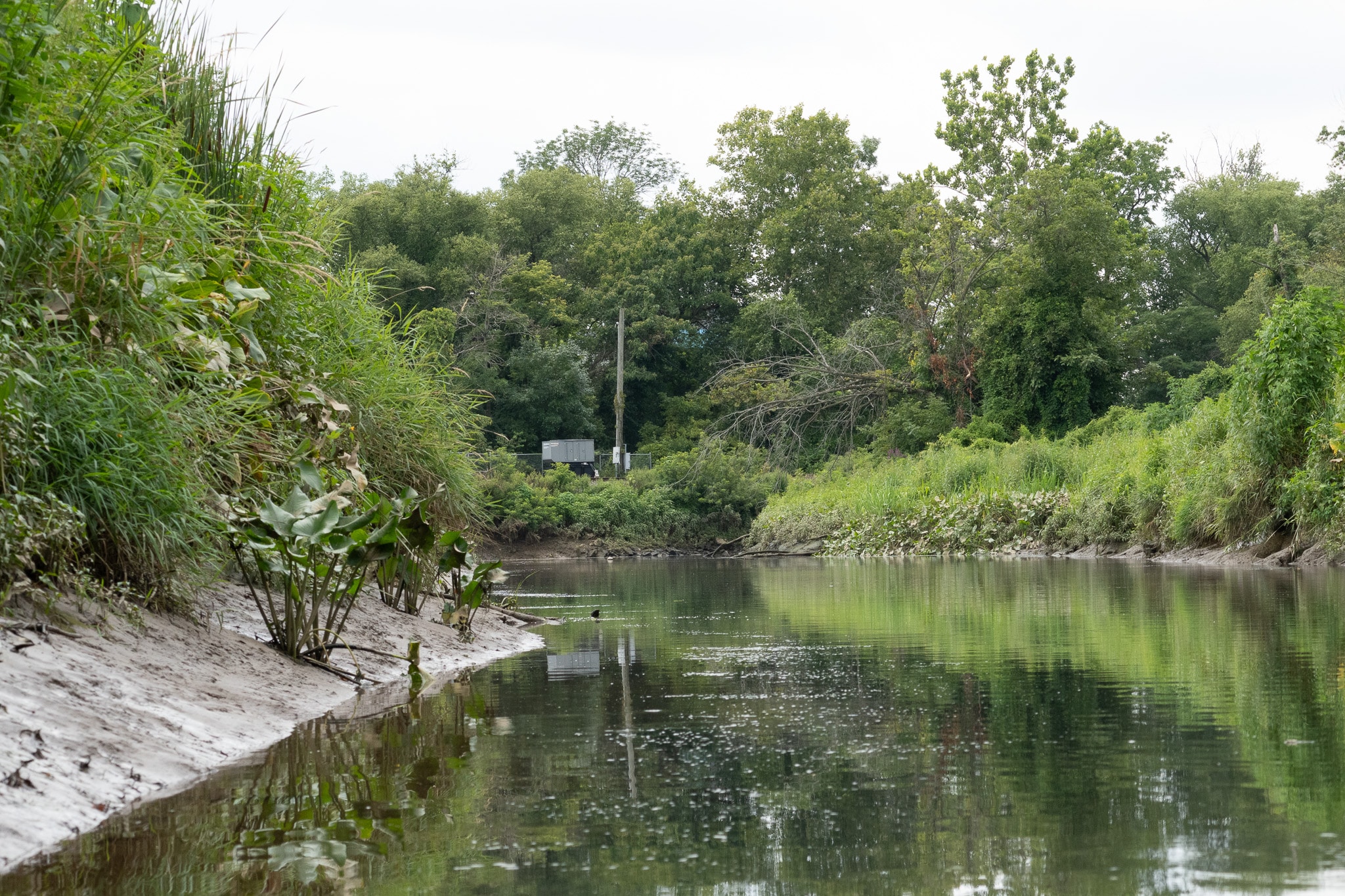
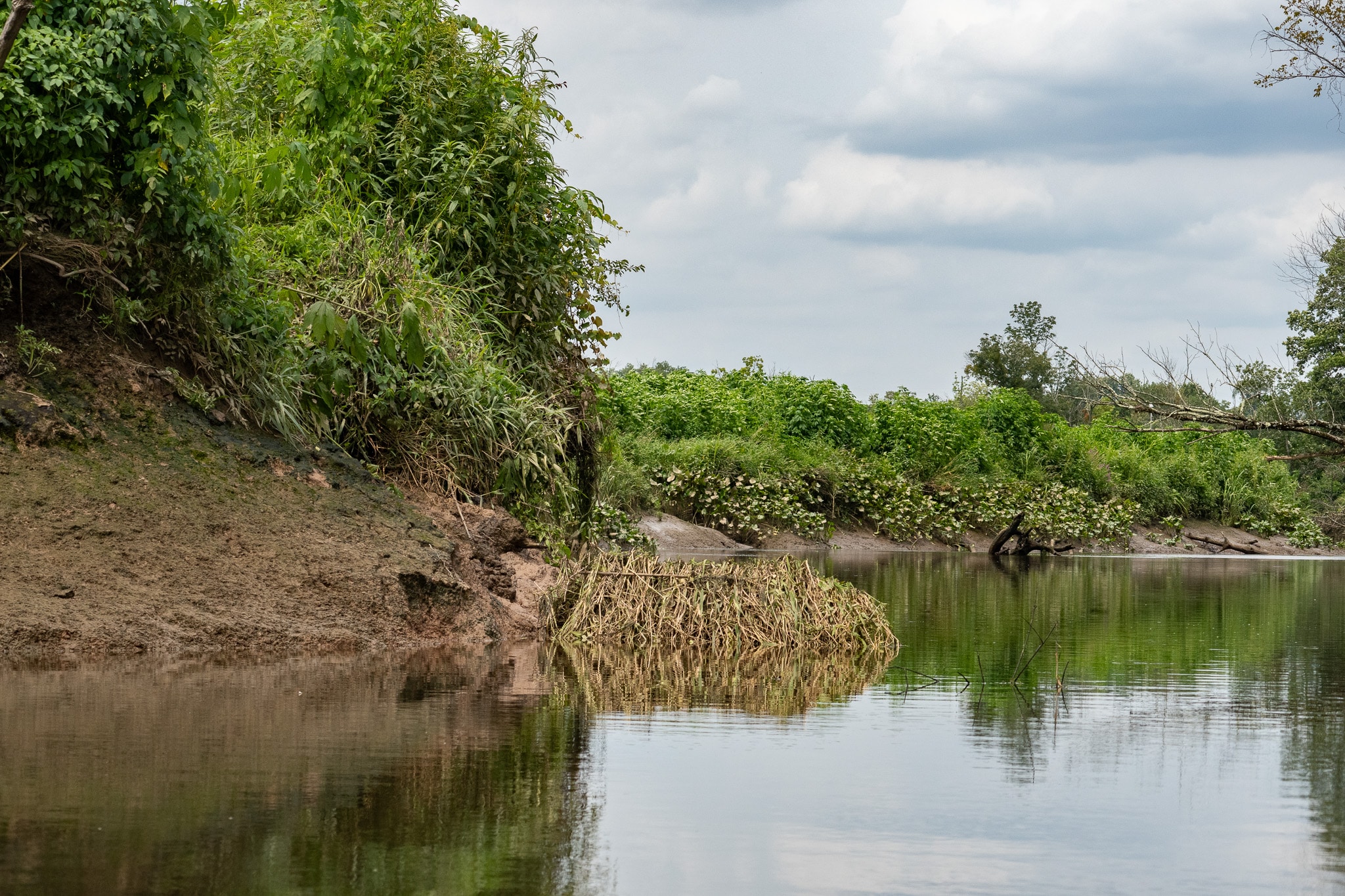
A highway bridge crosses the Crosswicks’ mouth, and a marina is upstream of the launch point. Beyond this are plains of spatterdock overlooked by sandy bluffs. I followed the main stem of the Creek to the woods midway between the Rt 206 and Rt 130 bridges, where I encountered fallen trees that spanned the stream’s width. I could navigate several of these at the top of the tide; not wanting to get trapped behind them on the ebb, I found a spot below them to go ashore for a break before the return trip.
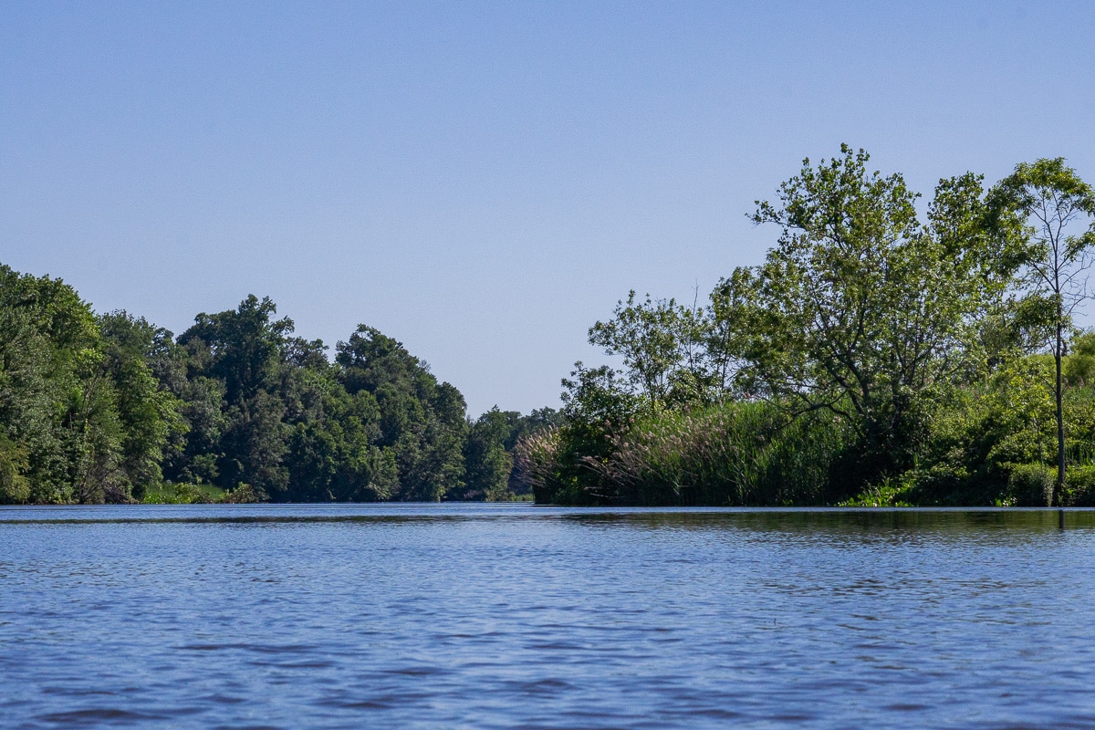
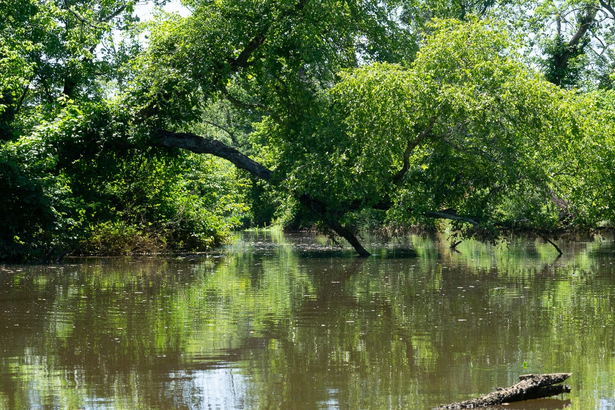
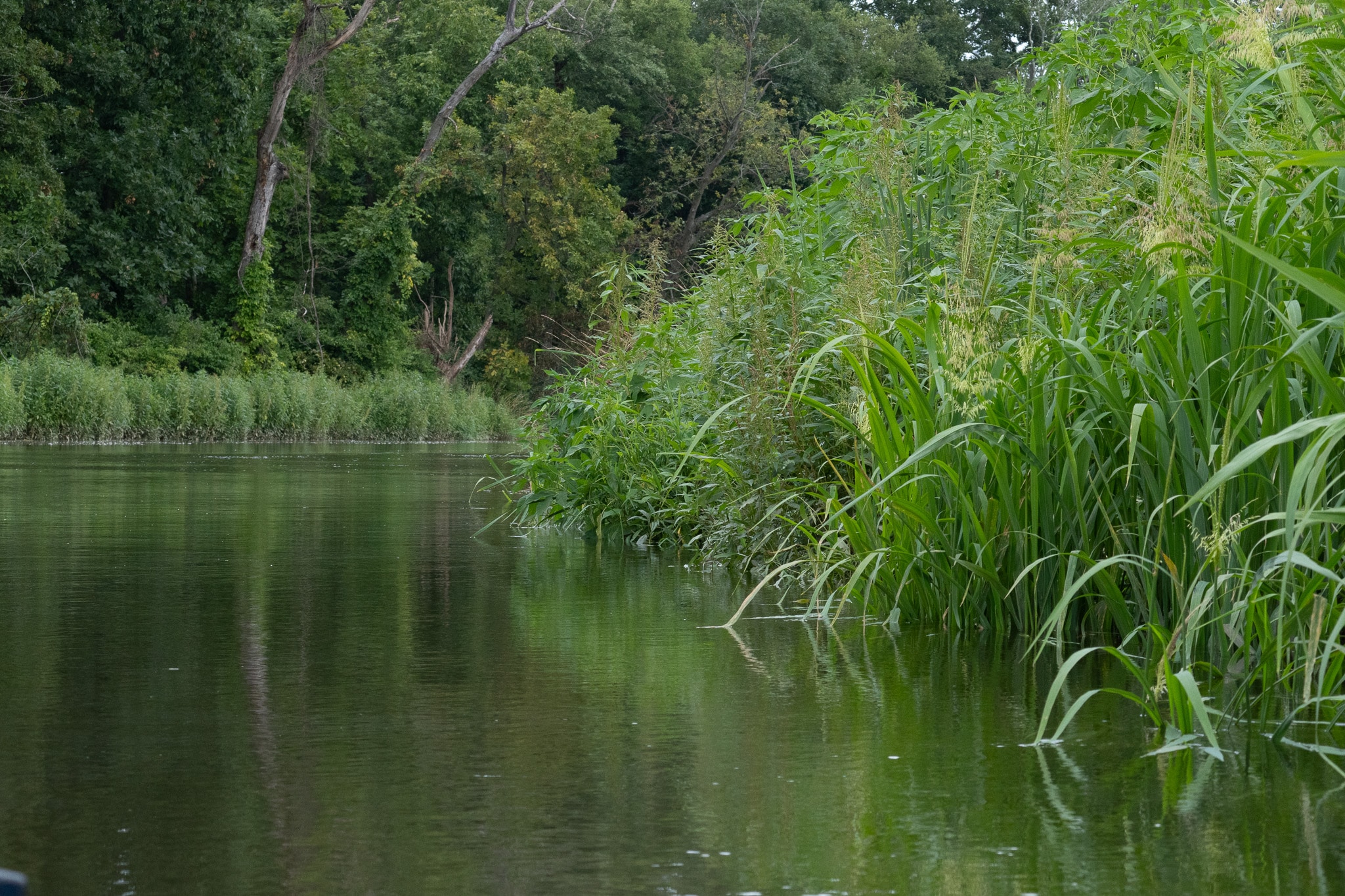
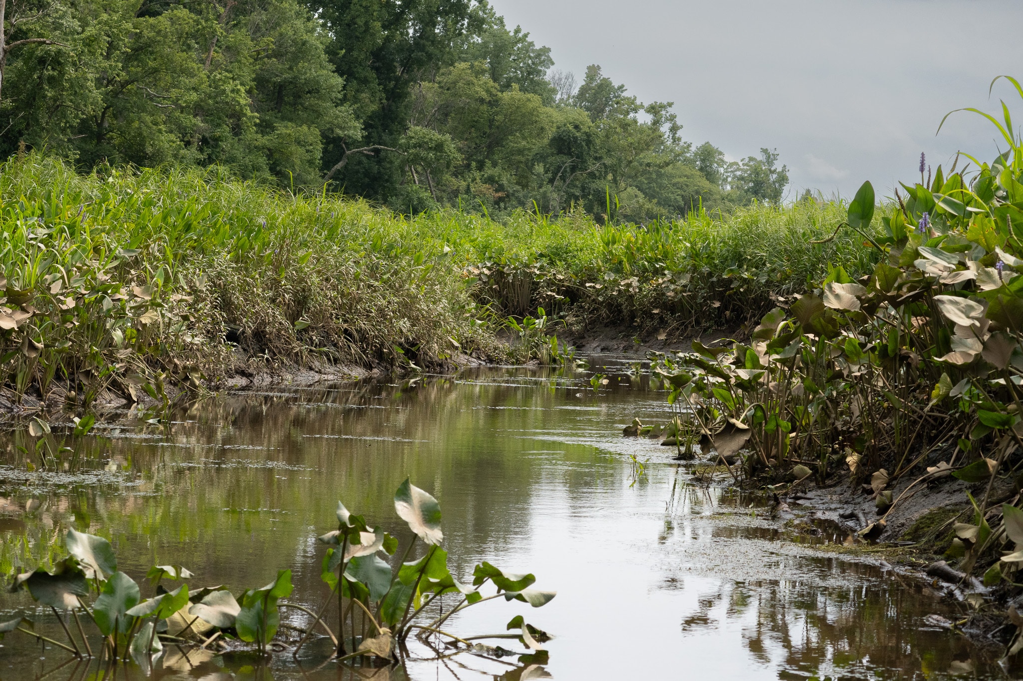
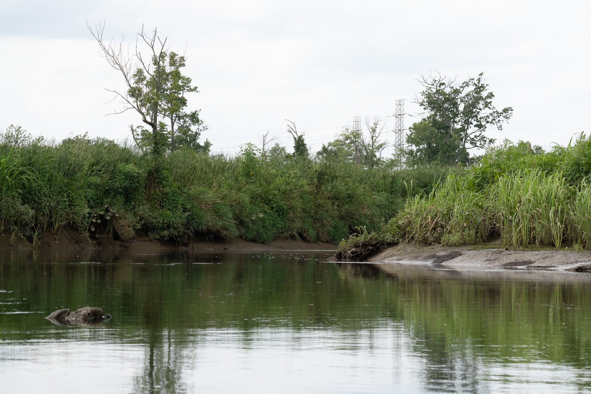
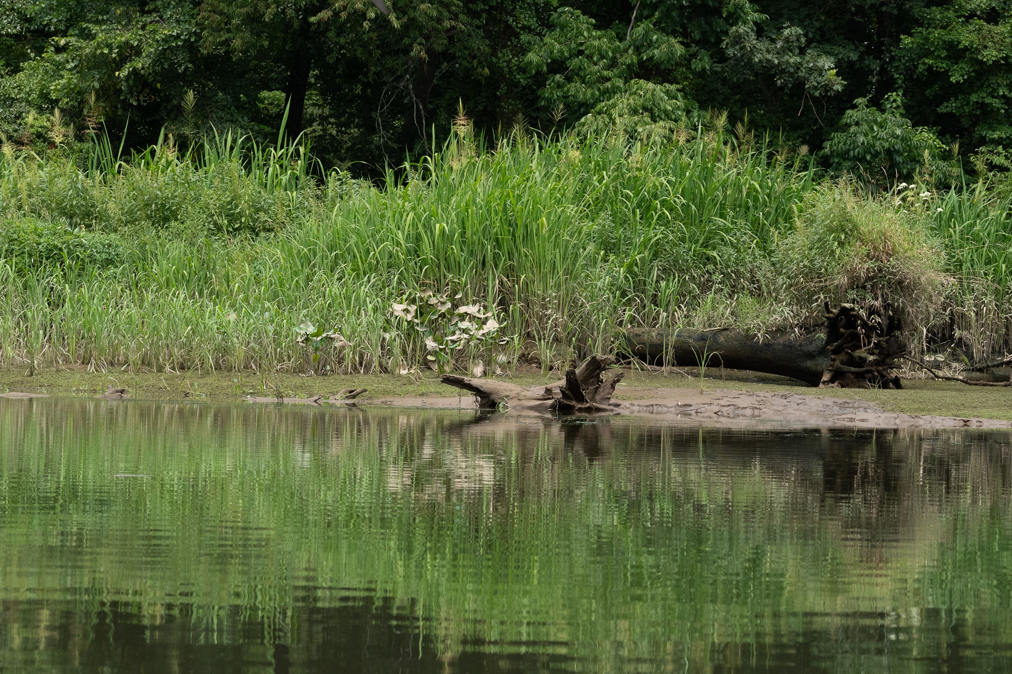
Watson’s Creek splits from Crosswicks Creek, about 3.4 miles from Bordentown. It is a smaller stream that eventually disappears into the wetlands. There is a launch point at the John A Roebling Memorial Park that is useful near the top of the tide but is very steep at low water.
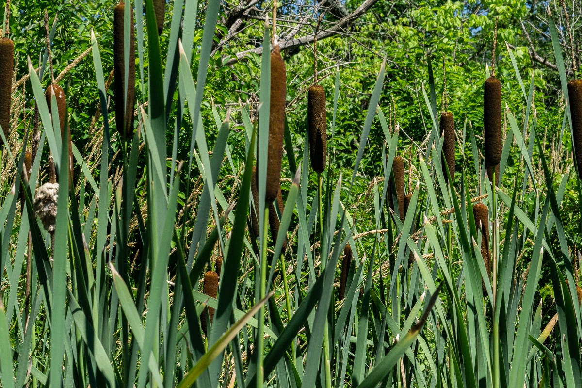
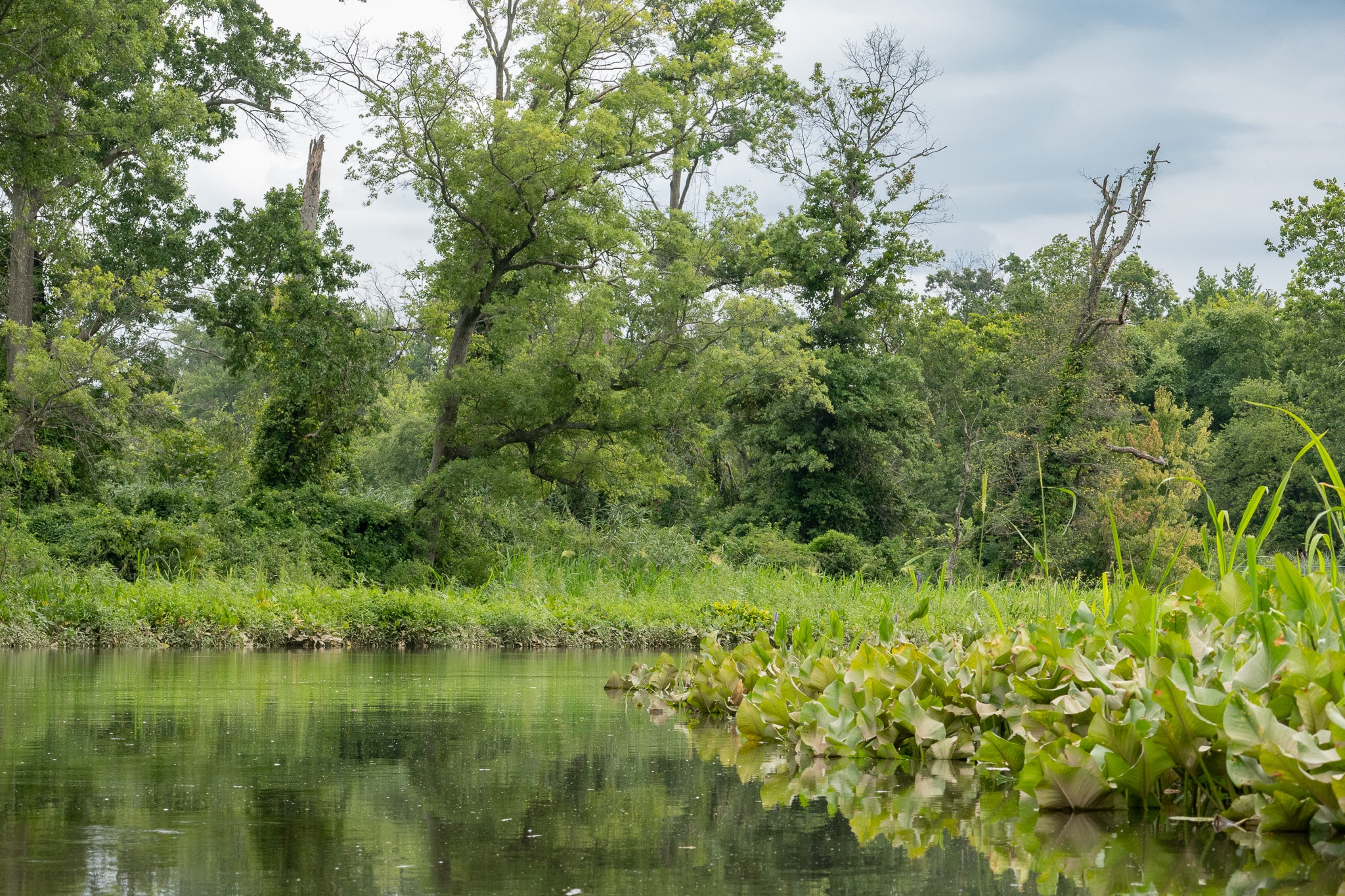
Most of this paddle is in the Abbot Marshlands. Visiting the Tulpehaking Nature Center’s website before setting out is time well spent.
August 2023
Before you go
- Launch from Bordentown Beach on a Flood Tide.
- Tidal Current Information based on Newbold Island
- There is a charge for use of the boat ramp but the beach next to it is free.
- There are porta potties in the park.
- There is a parking lot.
or
- Launch from John A Roebling Memorial Park on an ebb tide.
- Tidal Current Information is about an hour later than Newbold Island
- There are porta potties in the park.
- There is parking.
- The launch site gets quite steep as the tide goes down.