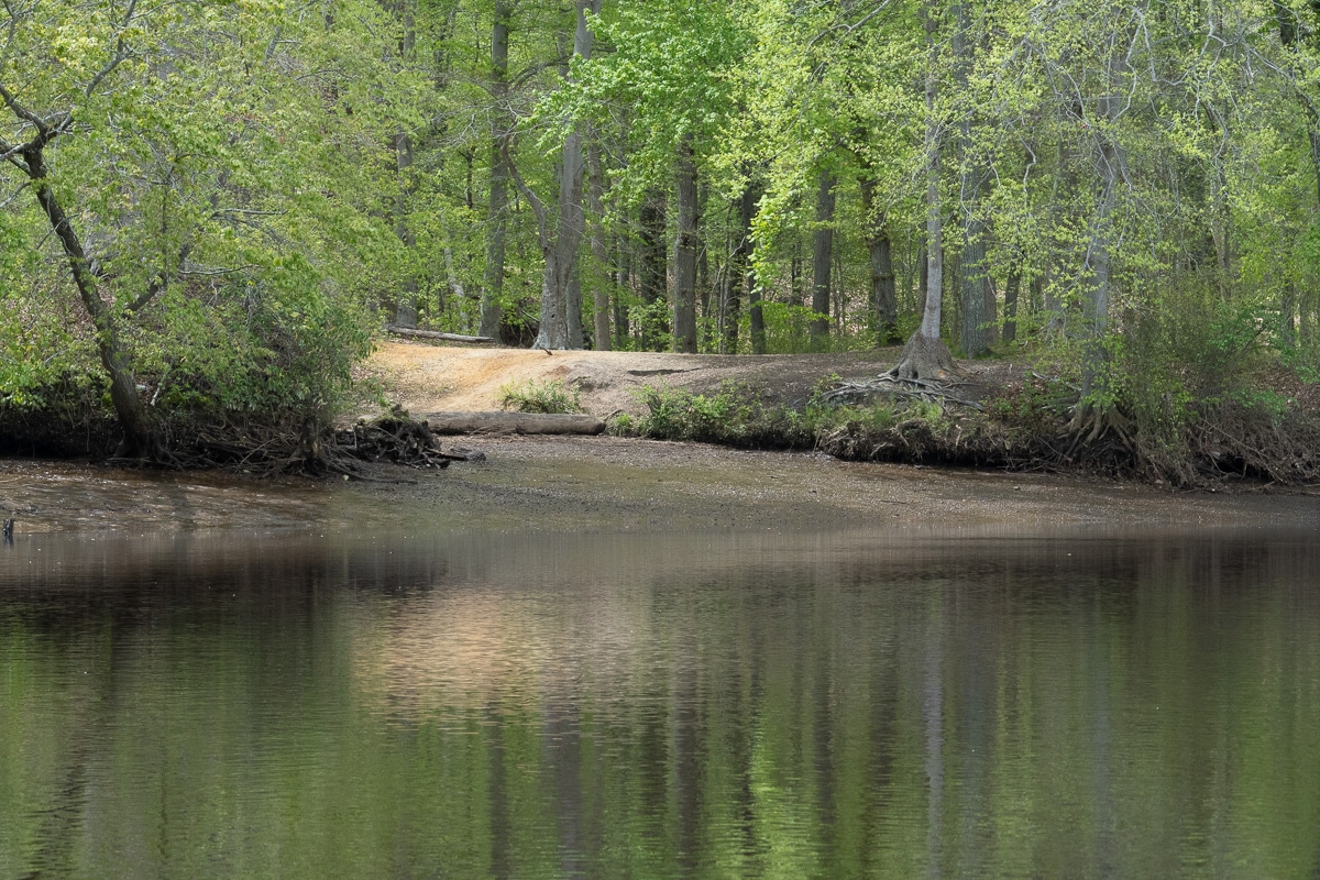
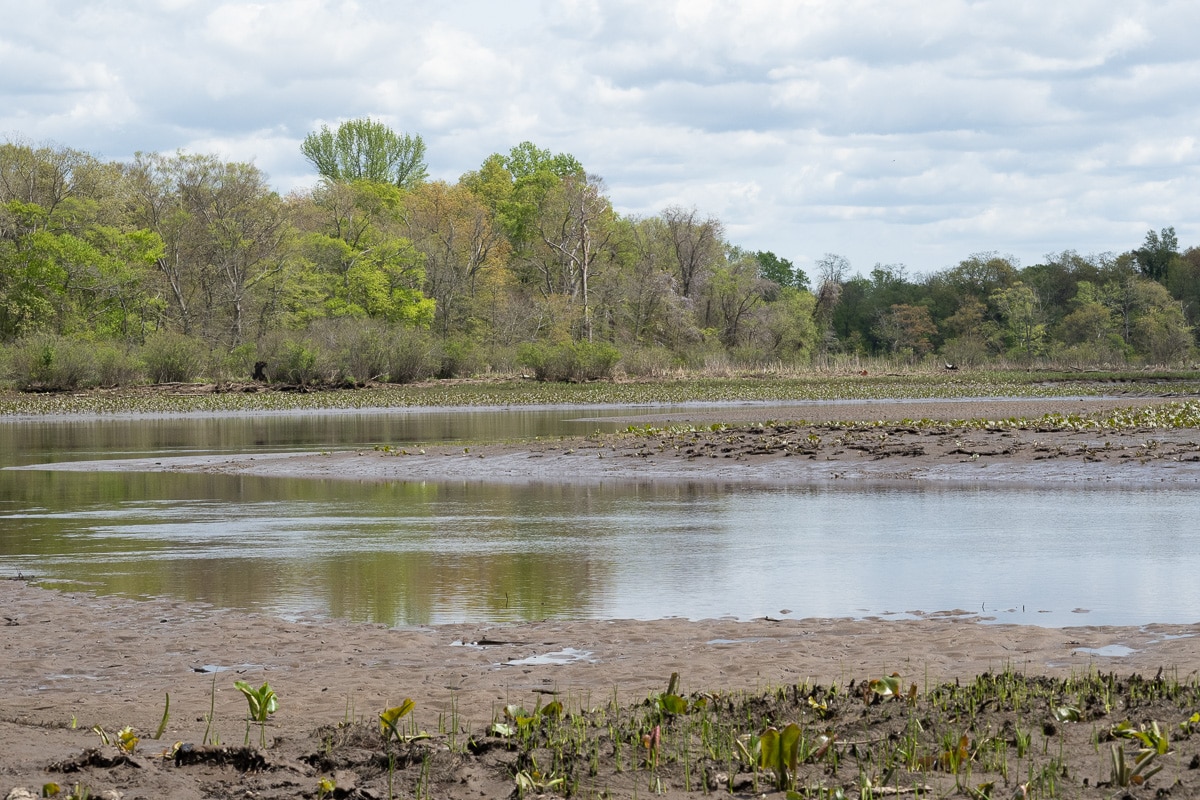
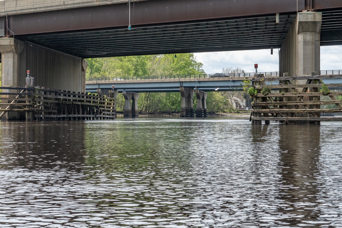
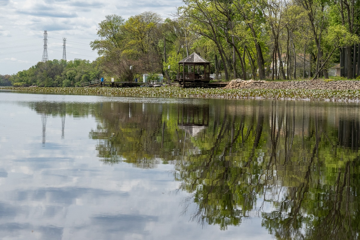
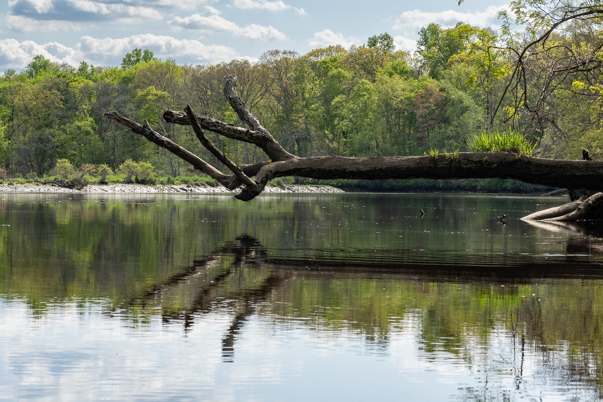
South Fork and Rancocas Creek


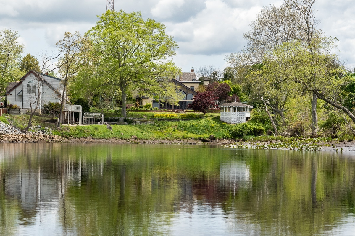
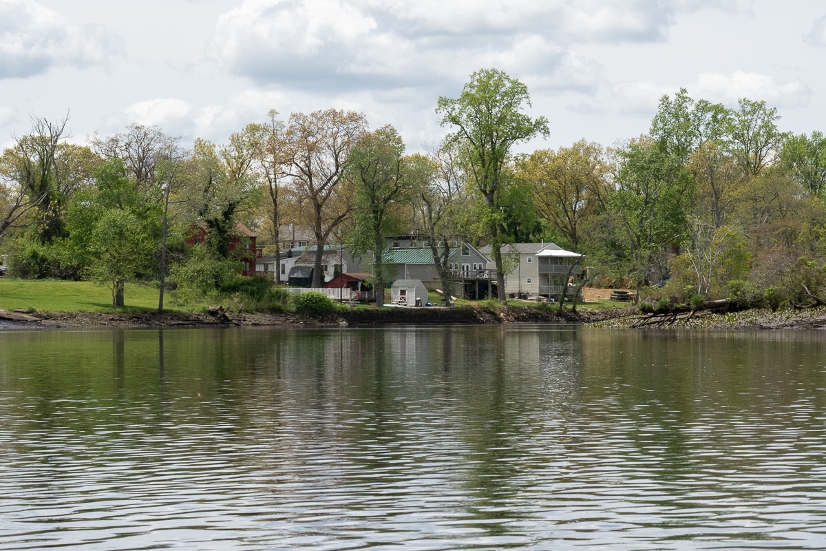
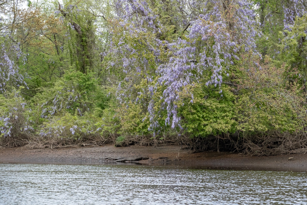
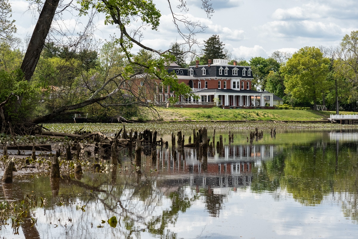
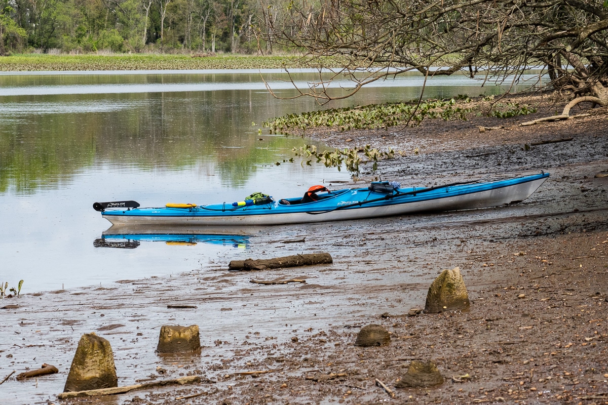
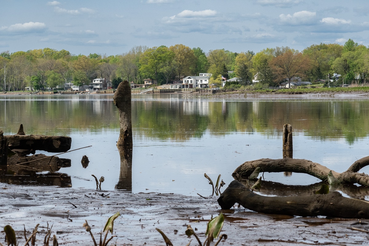
Rancocas State Park occupies the space between the North and South Forks of that Creek. There is a dirt road, Rancocas Ave., leading to a launch site on the South Fork, suitable for canoes and kayaks but not for trailers. It is a reasonably firm mud bank that gently slopes into the creek. The communities above and below the park offer statelier homes, generally set back from the water, than the other waterways of the region. Perhaps this is because the creek’s broader vistas or the communities bordering this creek fared better as heavy industry departed the Delaware Valley. The Rancocas had a long commercial history, but that can only be seen in the remains of bulkheads in currently wooded areas.
May 2022
Before you go
- Launch from Rancocas State Park on an ebb Tide.
- Tidal Current Information based on Frankford Range at Tacony Range
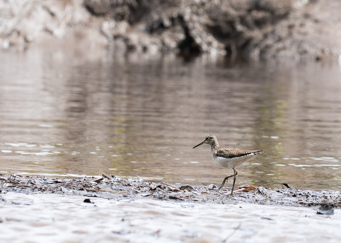
- There is not a boat ramp but a muddy “beach.”
- There are no facilities.
- There are a few places to park.