In the tidal portions of the watershed, the rise and fall of the Delaware vary around 6 feet. The causes of variation are primarily the phases of the moon and weather. On the main stem of the river, the current ebbs at 2.5 knots and floods at 2 knots. The current speed is also variable. All of this is predictable, and forecasts are available from NOAA. The rise and fall of the tide are not in sync with current speed and direction; NOAA publishes tables for each. On most days, the paddler is more interested in the times of slack water rather than when the tide is highest or lowest.
At the speeds a kayak can travel, the impact of the tidal current is very significant, working with the current as opposed to against it. A boat using the current gains two miles an hour, and the boat traveling against it loses two. Most kayaks can travel at 4 miles an hour, so paddling against the current means the boat is only progressing 2 miles per hour over the river bottom. Paddling with the current means progress of 6 miles an hour over the riverbed. The math becomes a lot less abstract when paddling against the flow as the sun sets and dinner beckons.
On larger bodies of water, such as the main stem of the Delaware River, the interaction of wind and tidal current is significant. When the wind opposes the tide, a short steep wave pattern results. The fishermen of the shallow Delaware Bay say the waves are square, meaning their height equals their distance apart. When looking at weather and tide on the day of a trip, this bears remembering. It is not a big deal in sheltered waters, but it can be a killer in open water.
Planning a trip around the tide increases the distances traveled in a given period. It is possible to paddle against the Delaware’s tidal current and make good progress but every break when not beached means ground lost and double energy is expended for every gain.
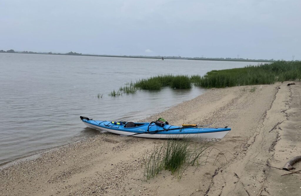
Where the height of the tide matters is streams that become too shallow to navigate at low water or where there are obstructions affected by the tide. The rise and fall on the tidal Delaware is six feet. A railroad bridge over the lower Cooper River has little clearance at high water. There are logs across Crosswicks creek that can be passed over at high water but block the way at mid-tide. Some wetland streams dry out completely at low water. The effect of the tide on a return trip should always be kept in mind; six feet is an appreciable change in water level both above and below the surface.